Enjoy Aurora's Trail Systems
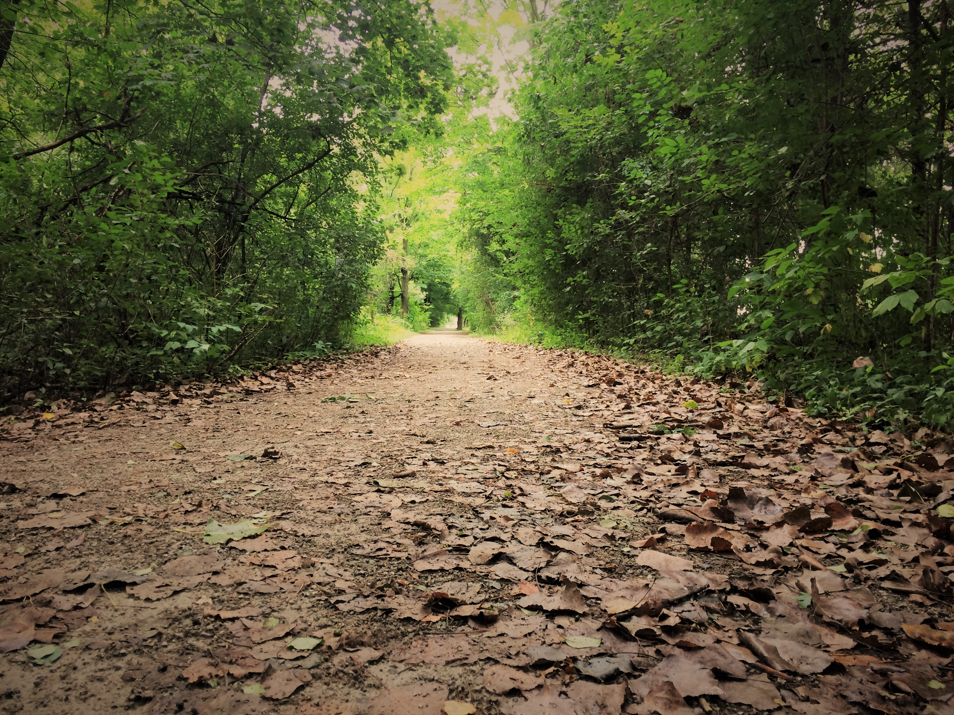
The Town of Aurora has some amazing trails just waiting for you to explore. The Town currently maintains approximately 62 kilometres of trails connecting our neighbourhood parks, Town facilities and green spaces. The majority of our trails are compact gravel surfaces with some asphalt sections through neighbourhood and community parks and are considered multi-purpose trails for all to enjoy.
To search for all trails in Aurora, please use our interactive map.
Whether you're walking, jogging, cycling or cross-country skiing - there's an Aurora trail waiting for you. Below are a few of our larger trail systems.
Tim Jones Trail |
|
The trail corridor links municipal facilities such as the Aurora Family Leisure Complex, the Aurora Town Hall and the Aurora Senior's Centre and passes through the Aurora Community Arboretum, Lambert Willson Park, and Sheppards Bush. An additional trail northward, just west of McKenzie Marsh, links up with the Town of Newmarket and completes Aurora's section of the Tim Jones (Nokiidaa) Trail. The Tim Jones Trail is part of the larger Nokiidaa Trail system and can be taken as far north as East Gwillimbury following the East Holland River. |
Klaus Wehrenberg Trail |
|
Directions: The main entrance is off Industry Street, in Aurora, with a second entrance off Industrial Parkway. |
Willow Farm/ Lakeview Trail System |
|
Directions: the trailhead is located at the northeast end of the trail at the pond and stone bridge on Willow Farm Lane (just south of St. John's Sideroad). Parking is available along residential streets, which intersect with the trail. There is also public parking available at Summit Park (Orchard Heights Blvd. just east of Bathurst) and walk 200 m. east to Reservoir Park or 200 m west to the trail crossing at Whispering Pine Trail. |
|
David Tomlinson Nature Reserve and Trail |
|
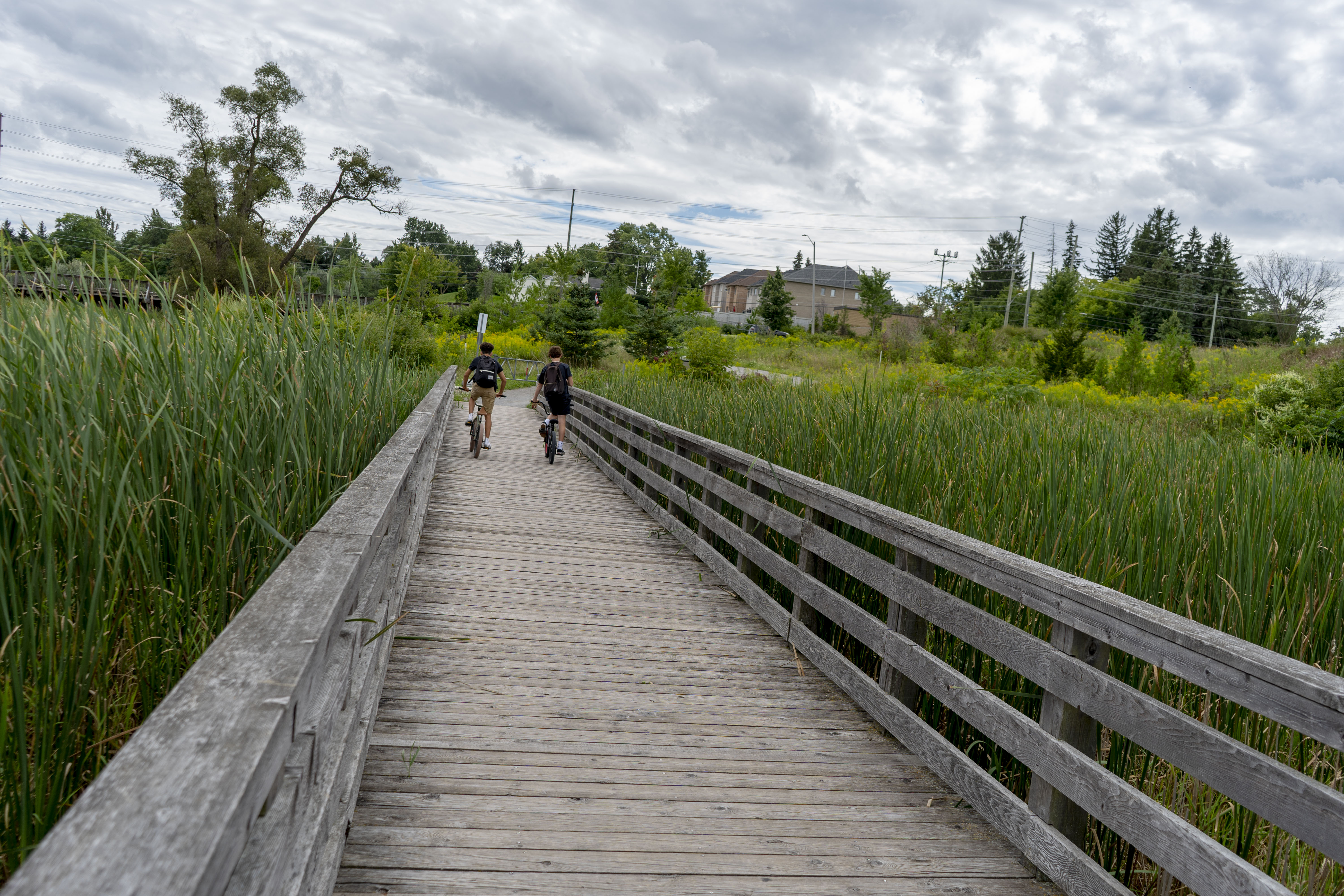
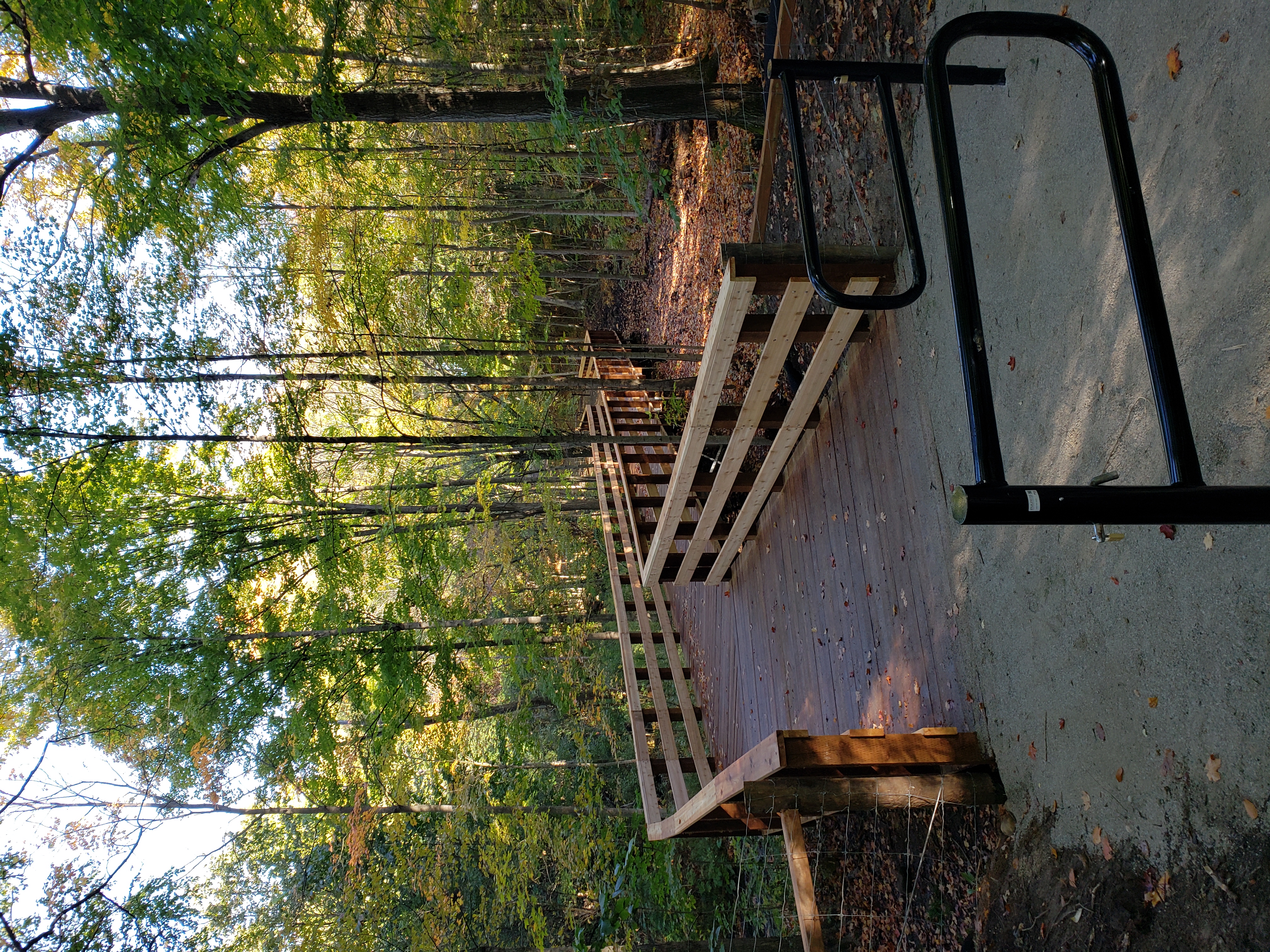
Directions The eastern trail section can be accessed from 300 William Graham Drive (opposite Radial Drive) as well as the trail entrances at 90 and 222 Conklin Crescent. The new western trail section can be accessed from trail entrances at 75 Tonner Crescent and 86 Scrivener Drive. Important Information We request that trail users please respect the natural environment, stay on the main trails, and keep dogs on a leash. Cyclists please dismount when crossing the boardwalks. Park users should note much of the nature reserve contains environmentally sensitive areas and habitat for many species of flora and fauna and the intent is to restrict pedestrian access to these areas to allow nature to flourish. Accordingly, fences have been installed alongside trails to reduce disturbance of these areas. |
Parks and Trails Etiquette
General Safety Tips |
|
Pet Etiquette |
|
Cycling Safely |
|
Respecting Nature |
|
Downloads
2018 Streets Parks & Trails Map
Information on Ticks and Lyme Disease
Notice of Pesticide Use


 The Tim Jones (Nokiidaa) Trail is Aurora's longest trail corridor stretching from Vandorf Woodlot in the south (Vandorf Sideroad just west of Bayview Avenue) to the St. John's Boardwalk at the McKenzie Marsh.
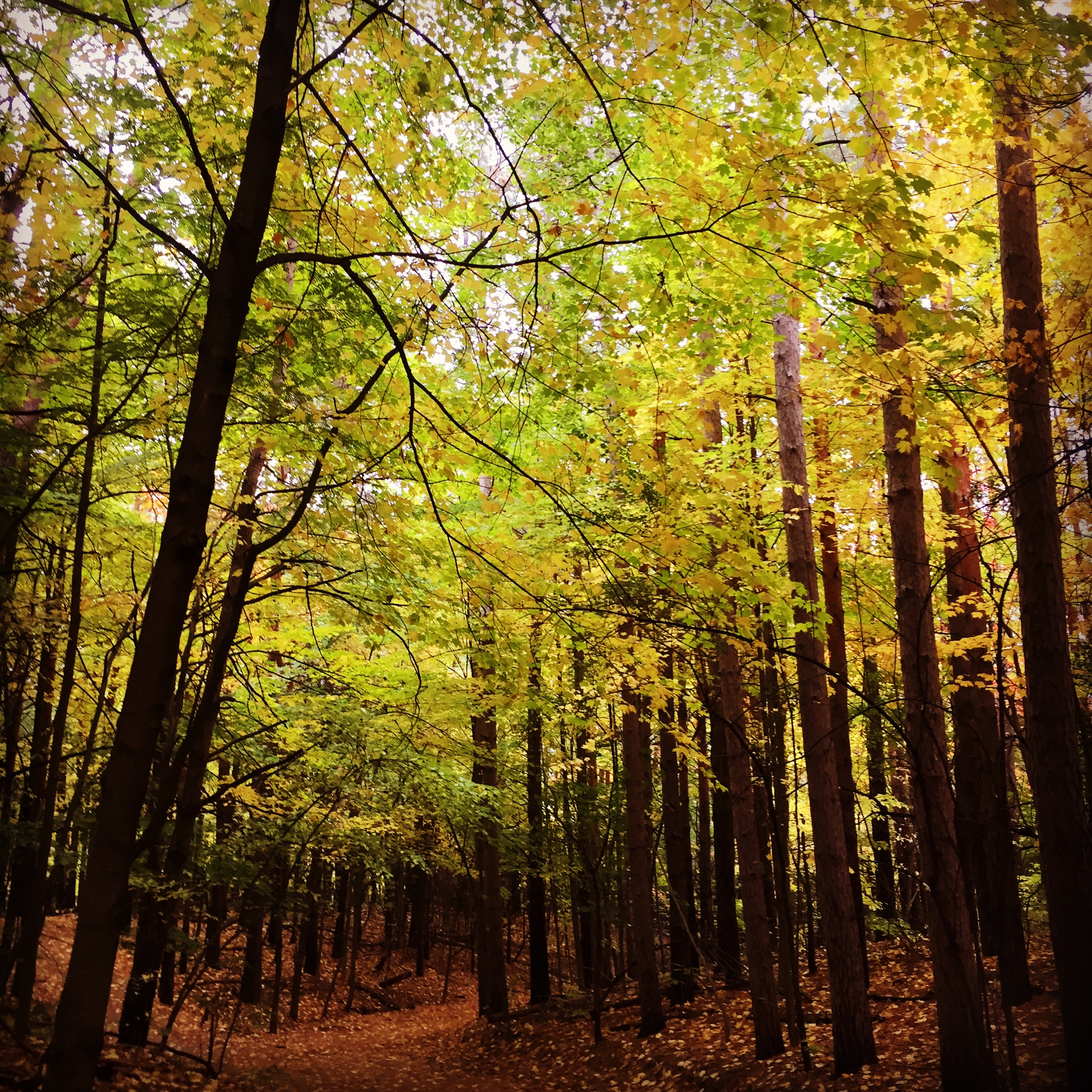
 This trail connects with the Tim Jones Trail in Sheppard's Bush. It then continues south through the hardwood forest to Vandorf Side Road where it meets the Evans Park Trail running South from Vandorf Side Road to Evans Park.
 This trail links parks and linear open space corridors within the forested hills of St. Andrews in Northwest Aurora. This trail features rolling hills, as the trail rises up to one of the highest points of elevation within Aurora.
 The David Tomlinson Nature Reserve includes a trail system extending from the Stronach Aurora Recreation Centre (SARC) on Wellington Street East up to Johnathan Bales Parkette on Hartwell Way, including several boardwalks and viewing platforms overlooking the ponds and wetlands.