
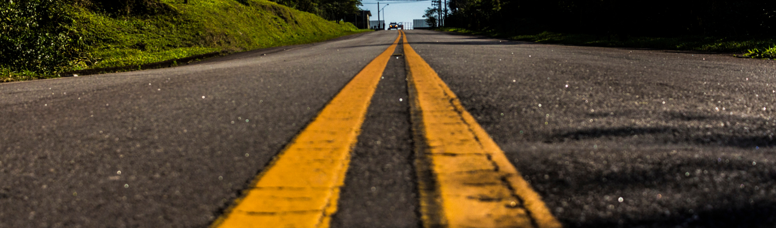
As the Town of Aurora grows, we recognize that traffic, pedestrian safety and the safety and maintenance of roads and sidewalks are a priority for our residents. Ensuring the safety of our residents and visitors is always our top concern and we encourage anyone with issues to email Access Aurora.
Locate Markings
| What do the coloured flags and spray paint on the road and boulevard mean? |
|
These are called locates. Locates indicate what infrastructure is under ground. Each colour represents a different utility. These includes gas lines, underground cable, water and sewer lines and hydro wires. A flag at this site marks that one of these utilities is underground. The spray paint is the same and used on hard surfaces such as sidewalks and asphalt. Locates must be done before digging in accordance with the law. This applies to both residents and utility companies. If you plan on doing any digging on your private property, you can arrange locates by contacting Ontario On-Call. |
| Does this mean a utility company, or the Town will be digging on the front of my property in the Town’s boulevard? |
| Not necessarily. Sometimes a larger area needs to be marked with these flags or spray paint so the contractor can see where these lines come and go from underground. If work is going to take place, it will only be in the Town’s right of way and not on your private property. This type of work is necessary to provide you and your community with essential services. Like any infrastructure, sometimes these services need to be repaired or upgraded. |
| What does each colour marking represent? |
|
See the chart below to indicate the utility flag or spray paint and what it represents.
|
| How do I know what work is taking place on my street? |
| If a utility is working in a large area, they will often distribute letters to the residents and businesses on the upcoming work that is to take place. Sometimes they will post a sign to residents informing them of upcoming work. If the Town is doing work in your neighbourhood, along with written notice, it will always be posted on our construction projects webpage If you see these flags or paint marking, they could have been ordered by Alectra, Enbridge Gas, Rogers, Bell, TelMAX or the Town. |
| Will my property be restored when the work is completed? |
| Yes. Any utility company working in the Town is required to restore all work sites to its original condition or better. If you are concerned that it won’t be restored to its original condition, feel free to take a few pictures before the work starts for your records. This will help should a restoration issue arise. |
| Can these flags and spray paint be removed? |
| Locates are valid for at least 60 days from the day the flags are installed, but could be longer. We recommend that if they have been on the Town’s boulevard for 90 days or more, you can remove them. The spray paint is water soluble, will naturally wash away and is safe for the environment. |
| Who do I contact If I have concerns or questions? |
|
1. You can speak to the contractor on site for further details of what is taking place. 2. If you know which utility is doing the work, you can contact them directly via their customer service number or website. 3. You can check the Town’s Construction Projects webpage to see if any projects are scheduled for your area. 4. Email the Town at roadpermits@aurora.ca and provide your address and a photo of the area of concern and we will investigate it for you. |

Road Weather Information System (RWIS)
The Town has installed a new Road Weather Information System (RWIS). RWIS monitors weather and road condition in real time, collecting data such as air temperature, humidity, wind speed, precipitation, road surface temperature and road conditions.
The system helps Town staff make decisions during critical weather events, improving road safety and operational efficiency. RWIS stations also send snapshots of road conditions to provide regular updates for accurate weather forecasting.
The existing RWIS are located at John West Way, north of Wellington Street, and Elderberry Trail, north of Bloomington.
| What is a Road Weather Information System? |
| An RWIS, or Road Weather Information System, is a network of weather and pavement sensors installed along roadways to track current weather and road conditions. This system delivers real-time data, enabling better decisions on road maintenance, traffic management, and safety measures. |
| What type of data does an RWIS collect? |
| RWIS gathers a range of data, including air temperature, humidity, wind speed and direction, precipitation type and amount, road surface temperature, road condition (such as wet, dry, or icy), and subsurface temperature. |
|
How is the data from an RWIS used? |
|
Transportation agencies use RWIS data to make informed decisions about winter road maintenance, such as deploying snowplows or applying salt. It contributes to weather forecasting models, improving predictions of road weather conditions. |
| Where are RWIS stations typically located? |
| RWIS stations are typically situated in areas susceptible to severe weather or where road safety is crucial, such as bridges, highways, and high-traffic zones. They are often installed in locations where microclimates can lead to significant changes in road conditions. |
| Where are the RWIS stations in Aurora located? |
Aurora has two RWIS stations:
|
| How does RWIS contribute to road safety? |
| RWIS provides up-to-date information on road and weather conditions, helping transportation agencies and drivers make better decisions. This reduces the risk of accidents from ice, snow, or fog, leading to safer roads and more efficient use of resources like de-icing agents. |
|
How is RWIS different from traditional weather stations? |
| Unlike traditional weather stations that track general atmospheric conditions, RWIS is designed to monitor road-specific weather conditions. It provides detailed data on surface and subsurface temperatures, road conditions, and other factors that directly impact road safety. |
| Does the RWIS system track anything else? |
|
No. The RWIS system is used only to track the weather. |
| Is the RWIS information available to the public? |
| No. The information generated from the RWIS stations is only accessible by Town staff and the Towns approved Weather Forecast service provider. |
|
Is the camera continuously recording? |
|
No. The camera takes snapshots at specified periods of time i.e. once per hour. The snapshot images are stored for historical use. No video footage is stored. |
Common Road Questions
Looking for specific information on road construction, road closure permits, pedestrian safety in school zones, traffic studies or sidewalk sweeping? See the navigation on the right hand side of this page.
For commonly asked questions, see below:
To view a list of local road closures, visit our Road Closures page.
| Who do I contact with concerns about road, pedestrian or traffic safety issues? |
| Both the Town of Aurora and York Region look after roads and traffic in Aurora. The Region is primarily responsible for traffic and road maintenance on primary roads, often referred to as major roads. These roads include most of Yonge Street (except for the portion between Orchard Heights and Henderson Drive), Bathurst Street, Wellington Street, St. John’s Sideroad, Leslie Street, Bayview Avenue and Bloomington Avenue. For issues regarding traffic, traffic signals, construction or road maintenance please contact the Region of York. To view a map of all Regional Roads please visit the Region of York online map.
The Town of Aurora Roads Division is responsible for all secondary roads, which includes a section of Yonge Street and most residential roads. Overall, the Town is responsible for the following:
|
| I have questions about snow plowing and winter road maintenance |
| For detailed information on snow plowing and our service standards related to winter maintenance, please visit our Winter Maintenance Page. |
| I have a concern about pedestrian safety or a traffic issue on a Town road |
| We encourage all residents to share concerns regarding safety in our community. The Town’s Traffic Analyst regularly conducts studies and provides recommendations to Council to improve pedestrian and road safety on Town roads.
There are multiple ways for you to share your concerns. You can go online to our Traffic Concerns online forum. This online consultation is monitored by the Town’s Traffic Analyst who can provide insights on your concern and you can connect with other community members who may share the same concerns as you. Hotspots and areas of concern will be investigated. Just want to talk to a human? No problem. We get it. Please contact Access Aurora and ask to speak with the Town’s Traffic Analyst. |
| What programs exist to help keep roads safe? |
|
Road Watch: ROAD WATCH is a community-driven program that provides citizens with a means to report aggressive or unlawful driving behaviour. Instances of speeding, unsafe lane changes, disobeying traffic lights and running stop signs are some types of behaviours that qualify for a ROAD WATCH submission. Submit an online report to Road Watch. View the Town’s Traffic Calming Policy. |
| What is a Road Occupancy Permit and when do I need to obtain one? |
|
Please visit the Road Occupancy Permits page for more details. |
| Are Bins and storage of materials allowed on Aurora roads? |
|
No, bins and storage of materials are not permitted on Aurora roadways. |
 ViewFull Town Services Menu
Contact Us